Photograph Your Street, Then Draw It as a Map
- Ages 5-7
- Ages 8-9
- Ages 10-12
Your child walks the same four hundred metres every day and could not tell you what colour the corner house door is. They have stopped seeing it, which is what happens to a route you know by heart.
A map is the excuse to look again.
Ages 6 to 11
Time An hour, plus the walk
You'll need A camera or phone, large paper, colours, and a chatbot on your account
Before you start: this map is of where you live. Read the safety note first.
How it goes
- Walk the route and let your child photograph anything worth putting on a map. Ten or fifteen shots. They choose, including things you would not have: a gatepost, a puddle that never dries, a cat.
- Lay the photos out in order at the kitchen table. That order is the route, and seeing it laid out is when children realise how much is on it.
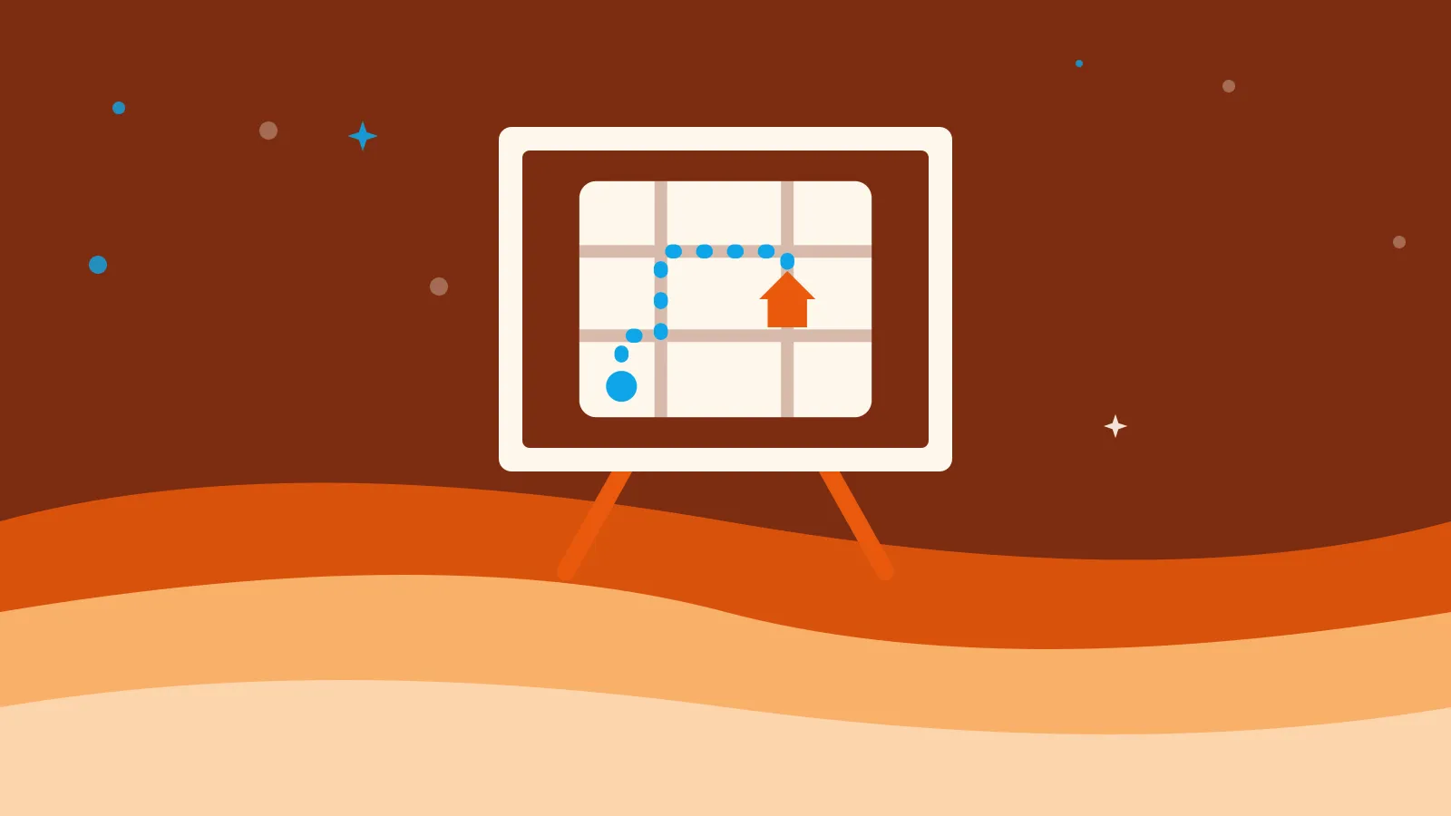
- Draw the route first, as one line across the big paper. Not to scale. Distance here is how long a stretch feels, so the dull stretch between the shops and the corner can be short.
- Ask the AI what a map needs. What does a hand-drawn map need so someone else can follow it? It will say a title, a key, a compass, something for scale. Map conventions are the sort of thing these models know cold.
- Then have it interview you. Ask me ten questions, one at a time, about what is on my route that I might have missed. Do not guess any answers. Answer from the photos.
- Invent the key. One symbol per kind of thing, drawn once at the edge. Inventing symbols is the part children remember.
- Test it. Describe the map to someone who has not walked the route and ask where they would end up.
Who does what
AI knows what a map contains and asks the questions that jog a memory. It supplies no facts about your street, because it has never been there.
Your child photographs, chooses, draws, invents the key, and defends the odd proportions.
You walk, carry nothing, and resist fixing the scale.
Make it easier or harder
For a six-year-old: five photos, three symbols, one line. Let them draw the cat larger than the church, because at six it is, and a map that records that is truer to their walk than an accurate one.
For an eleven-year-old: add a scale bar worked out by counting paces, then draw the route again as somebody else would use it. A delivery driver, a dog, someone in a wheelchair. What has to change, and what suddenly matters, is a real design problem.
Take it off the screen
Almost all of this already is. The screen appears twice, for a total of about five minutes.
Put it on the wall and keep adding to it. Post a copy to a grandparent who has never visited, which gives it a reader. Then walk the route holding the map and mark what has changed.
When it goes sideways
If your child draws a generic pirate map with a compass and a cross, the photos have gone unused. Ask which photograph each drawn thing came from. Anything from nowhere comes off.
If the AI starts describing a street it has invented, the instruction has slipped. Tell it plainly: You have not seen this place. Ask questions only. Point it out when it happens. It is the clearest demonstration your child will get that a confident answer and a known fact are different things. Teaching kids that AI can be wrong has more in this shape.
One thing to watch
Safety note
This map is of where you live, which makes it the one project here whose output is sensitive.
Do not upload the photographs, and do not type your street name, house number, or school into the chatbot. "A residential street with shops at one end" gets you everything you need from step 4 and gives away nothing.
Keep the finished map off the internet, however good it looks. Posting it is publishing your address next to a picture of your front door.
Our list of what should never go into an AI covers the rest.
Related: turn a map into a geography adventure is the reading-a-map counterpart, and turn your child’s drawing into a story world is the version where the place is invented.